
O₂ Resort Private stay in Valle de Guadalupe.
A Valle de Guadalupe map reveals something that surprises most first time visitors: the valley is compact.
The entire wine region fits within a stretch of road that takes about twenty minutes to drive end to end. Wineries, restaurants, and scenic viewpoints are clustered closely enough that no destination requires a long drive, yet spread widely enough that each turn opens a new view.
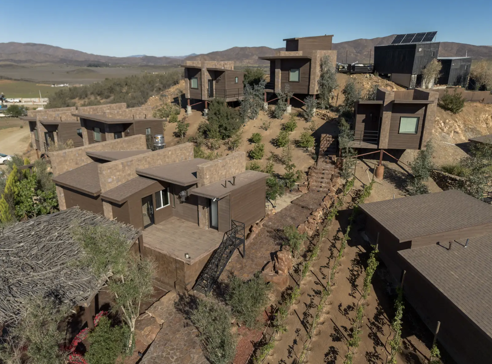
Understanding the layout before you arrive transforms your trip from a series of guesses into a seamless flow between tastings, meals, and the moments of beauty that the valley offers between every stop. A good Valle de Guadalupe map is not just a navigation tool. It is a planning framework that helps you build days where the driving is as pleasurable as the destinations. O2 Resort sits within the heart of this geography, positioned so that every direction from the property leads into wine country within minutes. The team's knowledge of the valley's roads, timing, and hidden corners turns the map into a living guide that adapts to your interests and pace. Any Valle de Guadalupe map shows the valley running roughly east to west through Baja California hills. Vineyards cover the floor and climb lower slopes. The main road threads through the center, with smaller roads branching into hills where wineries, restaurants, and farms occupy the landscape. The valley is approximately fifteen kilometers long. From the western entrance to the eastern end, the entire wine region is contained within a manageable distance. You are never far from anything. Drives between stops are minutes, not hours. Check options through the resort accommodations page. The spine of any Valle de Guadalupe map is the Ruta del Vino, the wine road running through the center. This two lane highway connects the majority of wineries, restaurants, and properties. Driving end to end takes twenty minutes without stops. The road is paved and easy to navigate. Winery signs line both sides. Restaurants announce themselves with smoke from outdoor kitchens. The scenery shifts constantly. Vineyards on one side, golden hills on the other, a viewpoint where the valley opens wide, then a curve into a shaded stretch of olive trees. From O2 Resort, accessing the Ruta del Vino takes minutes. Head east toward established wineries and renowned restaurants, or west toward newer, more experimental producers. Your Valle de Guadalupe map comes alive once you know which direction matches your day. The most rewarding discoveries on any Valle de Guadalupe map are the side roads that branch off the main route. These smaller roads climb into the hills, often unpaved but well traveled, leading to wineries that do not have a presence on the main road. Some of the valley's finest producers are found along these quieter routes, where the tasting rooms are smaller, the winemaker is almost always present, and the views from the hilltop terraces are panoramic. The side roads also lead to artisan producers, olive oil operations, cheese makers, and small farms selling seasonal produce. Following a sign you did not plan to follow is one of the defining pleasures of driving the valley. Your Valle de Guadalupe map shows you where the roads go. The valley shows you what happens when you take them. The team at O2 Resort knows these side roads intimately. They can mark specific turns, recommend which unmarked roads lead to the best viewpoints, and tell you which producers are pouring that week. This local knowledge is the layer a printed map cannot provide. A useful way to organize your Valle de Guadalupe map is by zones. The western zone, near the valley entrance, includes many of the valley's acclaimed restaurants and some of its most photogenic winery settings. This area tends to be busier on weekends but offers the most dramatic combination of food and scenery. The central zone, where O2 Resort is located, provides the most balanced access to everything in the valley. Wineries, restaurants, viewpoints, and the main road are all within a short drive in any direction. Basing yourself here means you never backtrack and every outing is efficient. Browse the setting through the resort gallery. The eastern zone is quieter and more agricultural. The wineries here tend to be smaller and less visited, offering the most intimate tasting experiences. The landscape is slightly drier and the views extend farther into Baja's interior hills. For travelers who value discovery over popularity, the eastern end rewards exploration. The best Valle de Guadalupe map strategy is flexibility rather than precision. The valley rewards spontaneity. A morning route might take you east from O2 Resort to a small winery for a quiet tasting, then back along the Ruta del Vino to a restaurant in the western zone for lunch. An afternoon route might explore one of the side roads into the hills, stopping at a viewpoint before returning to the resort for the pool and a fire pit evening. The distances are short enough that you can adjust on the fly. If you pass a winery sign that looks interesting, you have time to stop. If a restaurant catches your eye, you can add it without disrupting the day. The Valle de Guadalupe map is a starting point, not a constraint. Two to three wineries per day is the ideal pace. Add a restaurant stop and a scenic pause, and the day is full without feeling rushed. Return to O2 Resort in the late afternoon with time for the jacuzzi, the pool, and the cabin porch before dinner. The map shows you where to go. The pace shows you how to enjoy it. See amenities through the resort amenities page. The entry point on your Valle de Guadalupe map is the San Ysidro border crossing south of San Diego. From there, the highway runs south through Baja California for about an hour before turning east into the valley. The drive is straightforward. Take the toll road south from the border, then follow signs toward Tecate and Valle de Guadalupe. The turn into the valley is well marked. Once you enter, the Ruta del Vino becomes your primary navigation reference. A valid passport is required for the border crossing. Returning to the US typically takes longer than crossing south, so plan your departure with buffer time. Many guests time their return for early morning to minimize wait. Details at o2resortvalledeguadalupe.com.The Valley's Shape and Layout
The Main Road: Ruta del Vino
Side Roads and Hidden Routes
Key Zones on the Map
Planning Your Route
Getting to the Valley

Navigating Without Stress
The valley is easy to navigate once you understand the layout. Your Valle de Guadalupe map can be a phone app, a printed guide, or the team's verbal directions. Cell service is reliable along the main road but can be spotty on hillside side roads. Downloading offline maps before your trip ensures navigation works everywhere. The roads are well maintained and safe. Driving is relaxed because the distances are short and the scenery makes every drive pleasant. The most important navigation tool is not your map. It is the O2 Resort team. Their daily knowledge of road conditions, which producers are open, and which routes offer the best light at different times of day transforms planning from guesswork into confidence. Learn more in the about section. The main wine region stretches approximately fifteen kilometers along the Ruta del Vino. The compact size means every winery and restaurant is within a short drive. Yes. The valley does not have public transportation. A car provides the flexibility to explore the Ruta del Vino, side roads, and the surrounding area at your own pace. Yes. On any Valle de Guadalupe map, O2 Resort sits in the central zone, providing balanced access to wineries, restaurants, and scenic routes in every direction. The main road is paved and well maintained. Side roads are often unpaved but navigable. Driving is relaxed with short distances between stops. Yes. The team provides personalized route suggestions based on your interests, preferred pace, and which producers and restaurants are offering their best that day.Frequently Asked Questions (FAQs)
1. How Big Is Valle de Guadalupe?
2. Do I Need a Car?
3. Is O2 Resort Centrally Located?
4. Are the Roads Easy to Drive?
5. Can the Resort Help with Route Planning?